PHOTOS: Snow Storm Begins
Sunday January 5th, 2014, 6:14pm
Hello time traveller!!
This article is 4163 days old.
The information listed below is likely outdated and has been preserved for archival purposes.
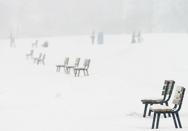
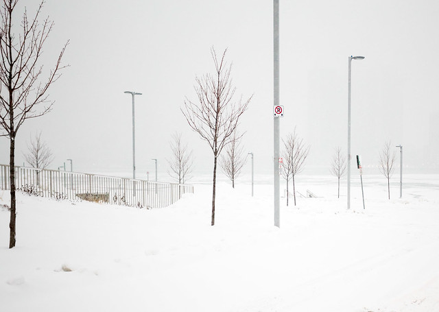
Benches along Windsor’s riverfront sit covered with snow
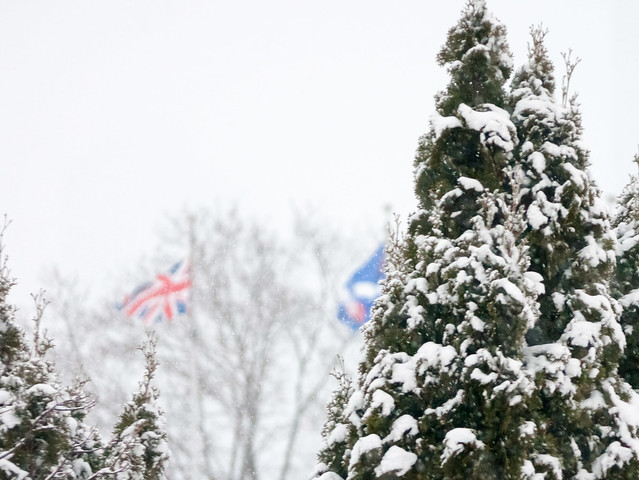
The rate of snowfall is picking up as heavy, wet snow descends on Windsor-Essex.
Environment Canada earlier updated its snowfall warning for all of Windsor and Essex County as well as Chatham-Kent stating that certain areas of Southern Ontario could see up to 30cm of storm-total snow.
Cold, brisk winds moving into our area are expected to produce widespread dangerous wind chills beginning later Monday as some of the coldest air in years produces record-shattering cold.
The National Weather Service in Southeast Michigan called the storm a “rare” event and said the heaviest snow, which is expected to fall through 8pm, may be at a rate of 1 inch per hour.
All school boards in Windsor-Essex are still evaluating whether or not classes will be cancelled. We’ll bring you the latest information if decisions are made to close schools or cancel buses.
The University of Windsor says it has no plans to cancel classes on Monday and that all regular operations will continue as normal.
Meanwhile on Windsor’s roads, whiteout conditions are possible as snow falls at a brisk rate. Several accidents are already blamed on the weather including cars spinning out on EC Row.
Plough and salting crews are out in full force in Windsor and are concentrating on main routes.
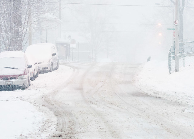
Snow falls on roads near Downtown Windsor
Detroit is invisible as snow falls on the Detroit River in this photo taken near the riverfront
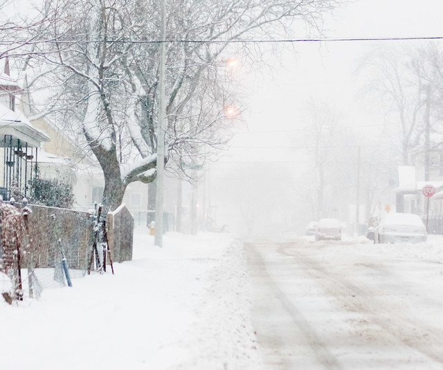
Ploughs have begun on some residential streets
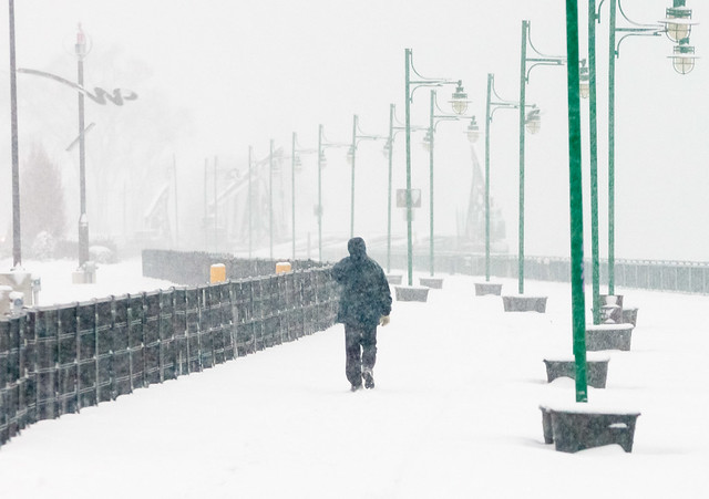
A man walks along Windsor’s riverfront in the snow
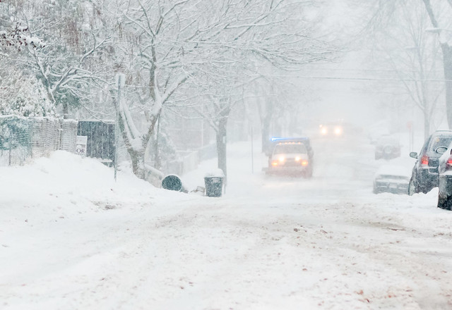
A snow plough heads up a street in this photo near Downtown Windsor
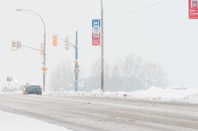
Snow falls in front of Winter Classic banners on Riverside Drive