Border Road: W-E Parkway Team Releases Aerial Photos of Border Route
Saturday March 10th, 2012, 10:30am
Hello time traveller!!
This article is 4939 days old.
The information listed below is likely outdated and has been preserved for archival purposes.

Screenshot: W-E Parkway on flickr
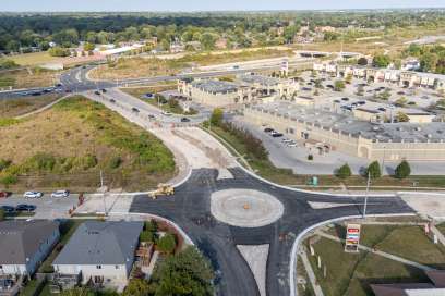
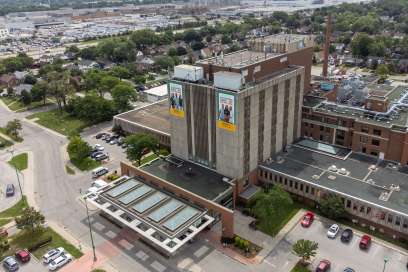
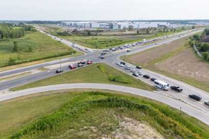
The Windsor-Essex Parkway team has released a series of before-and-after photos of the Parkway route from 2005 and 2012.
Parkway photographers recently took to the sky to capture current conditions along the future Parkway route. Photos show detail of expropriations, properties that were sold and deforestation that took place along the route at key locations such as Windsor Crossings and areas around St. Clair College.
Check out the set on flickr, here:
http://www.flickr.com/photos/weparkway/sets/72157629182723518/with/6821004704/
