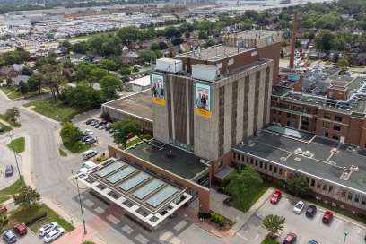
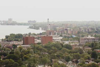
PHOTOS: High Water Levels Along Little River, Riverside Drive
Friday May 3rd, 2019, 8:52pm
Hello time traveller!!
This article is 2329 days old.
The information listed below is likely outdated and has been preserved for archival purposes.
With plans in place to make sand bags available to the public, water levels continue to rise on Little River, Lake St. Clair, and the Detroit River.
City officials say they are continuing to monitor levels, especially along the northeast side of the city (from the border with the Town of Tecumseh west to Goose Bay Park). Lower lying properties on the north side of Riverside Drive are at the most risk from rising river and lake flooding.
“We have strong berm systems in place that will keep the majority of any rising Detroit River water at bay,” said City Engineer Mark Winterton. “But, where gaps still exist, we’re ready to quickly fill them with sandbags if needed.”
The City is currently putting plans in place that if required, would offer sand and sandbags to residents living along the north side of Riverside Drive who may fear their properties being flooded.
The City is currently setting up locations and processes to allow residents to be able to access the sand and sandbags should it become necessary.
Once all details are in place more information will be released.

