


Flood Warning Issued For Leamington
Saturday April 14th, 2018, 1:26pm
Hello time traveller!!
This article is 2204 days old.
The information listed below is likely outdated and has been preserved for archival purposes.
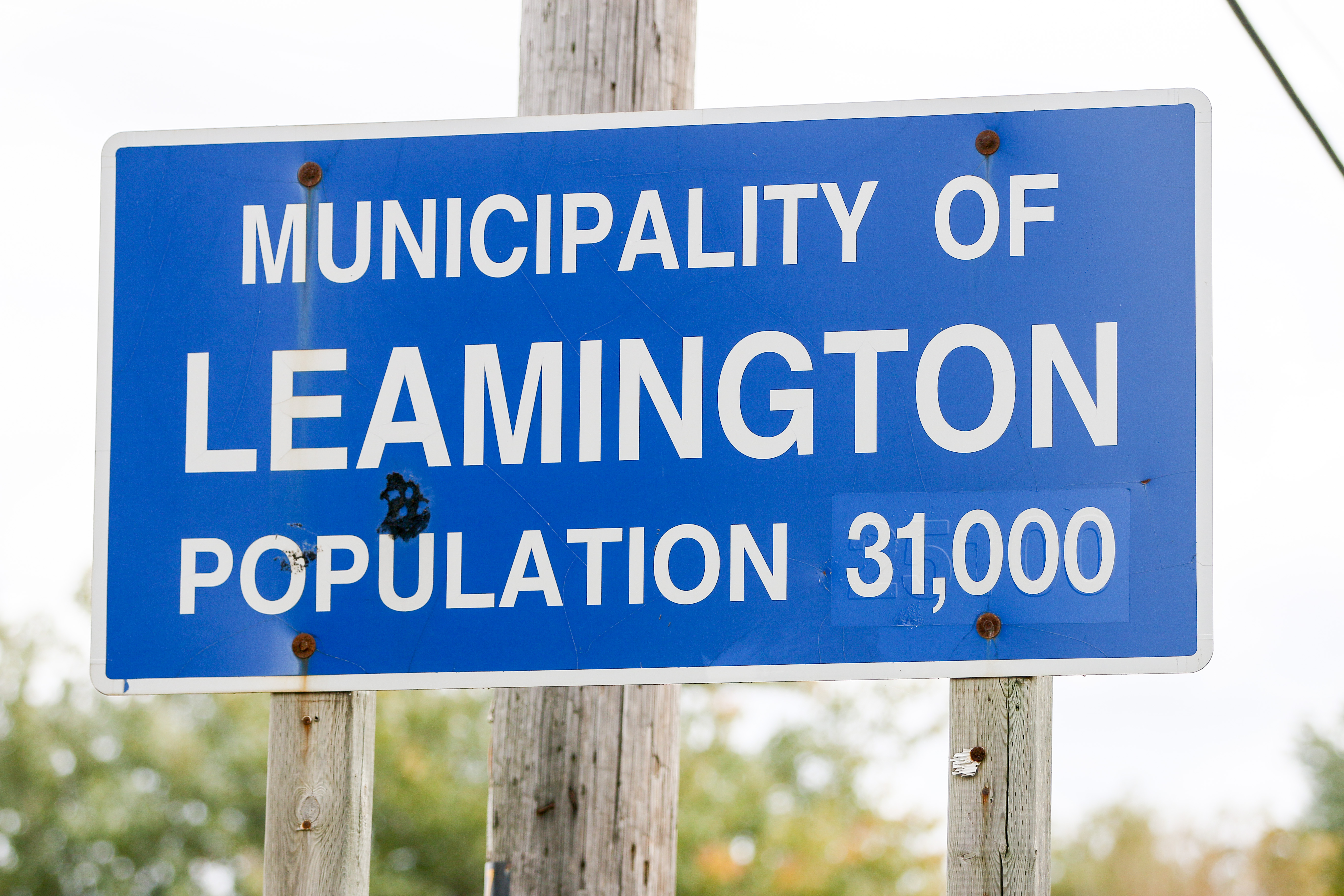
The Essex Region Conservation Authority has issued a flood warning for portions of the shoreline in Leamington located between Wheatley Harbour and Point Pelee National Park.
They say that the continuing winds out of the east/northeast flooding is presently occurring within the Cotterie Park Road are. In the affected area, portions of the travelled road surface and private lands are covered with water.
Strong east/northeast winds are predicted to continue through to Sunday evening and as a result, flooding, shoreline erosion and damaging waves are anticipated to impact the entire east shoreline including areas on and adjacent to Kay Avenue, Beach Boulevard, Milo Road, Pulley Road, Lakeshore Drive, Marentette Avenue, Patricia Avenue, Tampa Avenue, Cotterie Park Road, Silver Avenue, Julien Avenue, Hillman Marsh, East Beach Road, Marentette Beach Road and the eastern portions of Fox Run Road and Mersea Road 2.
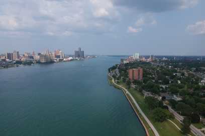
In addition, they warn that due to the Provincial lake level predictions for today and tomorrow, areas along the shorelines of Kingsville, Essex, Amherstburg, the Detroit River, Pelee Island and the remaining shoreline of Leamington west of Point Pelee are expected to experience increased high water levels due to lake setup resulting from the sustained east/northeast winds.
Significantly elevated water levels increase the potential for shoreline flooding and the risk for damage to docks and other shoreline infrastructure on private lands and within marinas.
The Flood watch issued at 3:30pm, Friday, April 13th, 2018 remains in effect regarding the potential for flooding, shoreline erosion and damaging waves along the shorelines of east Windsor, Tecumseh, west Lakeshore and the east and north shorelines of Pelee Island as well as for potential flooding due to the predicted rainfall.