NEWS >
CloudyNow
3 °C
37 °F
Chance Of FlurriesThu
-1 °C
30 °F
A Mix Of Sun And CloudFri
0 °C
32 °F
Chance Of FlurriesSat
1 °C
34 °F

Windsor Essex Christmas Events Guide

Local Events

Traffic Cameras

Daily NEWS-LETTER

Sign Up Here

Lowest Gas Prices

PHOTOS: Windsor’s Google Street View Updated (Before & After)

Saturday February 7th, 2015, 10:00am

0
0

Hello time traveller!!
This article is 3589 days old.
The information listed below is likely outdated and has been preserved for archival purposes.

Highway 3 is transformed as part of the Herb Gray Parkway project. Above: 2009, Below: 2014

Google has updated its Street View photo imagery for Windsor and Essex County.

The popular service, which lets Google Maps users take a virtual tour along streets and through neighbourhoods around the world, was updated this week with photos of our region taken in May 2014.

Here’s a before and after of a few local changes over the past five years:

Grace Hospital sits abandoned and is later demolished. Above: 2009, Below: 2014


A municipal parking lot downtown is transformed into Adventure Bay. Above: 2009, Below: 2014


The City of Windsor built a new fire station at Lauzon and McHugh. Above: 2009, Below: 2014


The intersection of Wyandotte and California at the University of Windsor has come a long way in five years. The Centre for Engineering Innovation, left, and the Joyce Innovation Centre, right, were both built on former parking lots. Wyandotte was also repaved and streetscaped. Above: 2009, Below: 2014
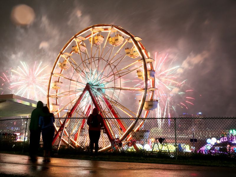
 

The Walkerville VIA Rail station was rebuilt. Above: 2009, Below: 2014
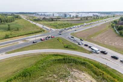
 

The former Highway 3 as depicted near Windsor Crossing. Above: 2009, Below: 2014


windsoriteDOTca
Daily Newsletter

Sign up to receive all the latest, local news stories you may have missed!

We don’t spam! Read our privacy policy for more info.

Do You Like This Article?

Content Continues Below Local Sponsor Message