


Flood Watch Issued
Tuesday April 3rd, 2018, 5:30pm
Hello time traveller!!
This article is 2208 days old.
The information listed below is likely outdated and has been preserved for archival purposes.
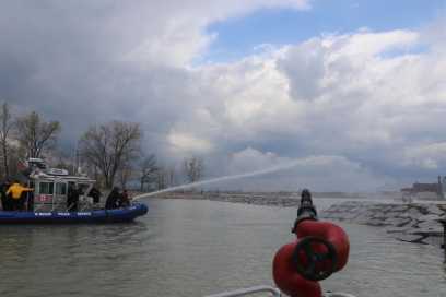
A flood watch has been issued.
The Essex Region Conservation Authority says that with the potential for 20 to 30 mm of rain starting this afternoon and continuing into early Wednesday
morning there is the potential for the accumulation of standing water in low-lying areas throughout the Essex
Region, especially adjacent to and within the floodplain areas of all major waterways and shoreline areas.
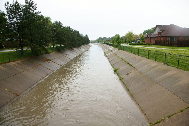
Current forecasts are also predicting that the current easterly winds will shift to strong southwest/west winds early Wednesday morning, with potential sustained speeds of 30 to 40 km/hr and gusts to 80 km/hr.
Based on these wind speeds, there is the possibility for near shore erosion with wave overtopping and spray. In the areas of direct wave attack there is also the possibility of breakwall damage. The areas of the Region most affected by the southwest/west winds are the south and west shorelines of Pelee Island, the shoreline of the Municipality of Leamington west of the tip of Point Pelee National Park and the shorelines of the Towns of Kingsville and Essex