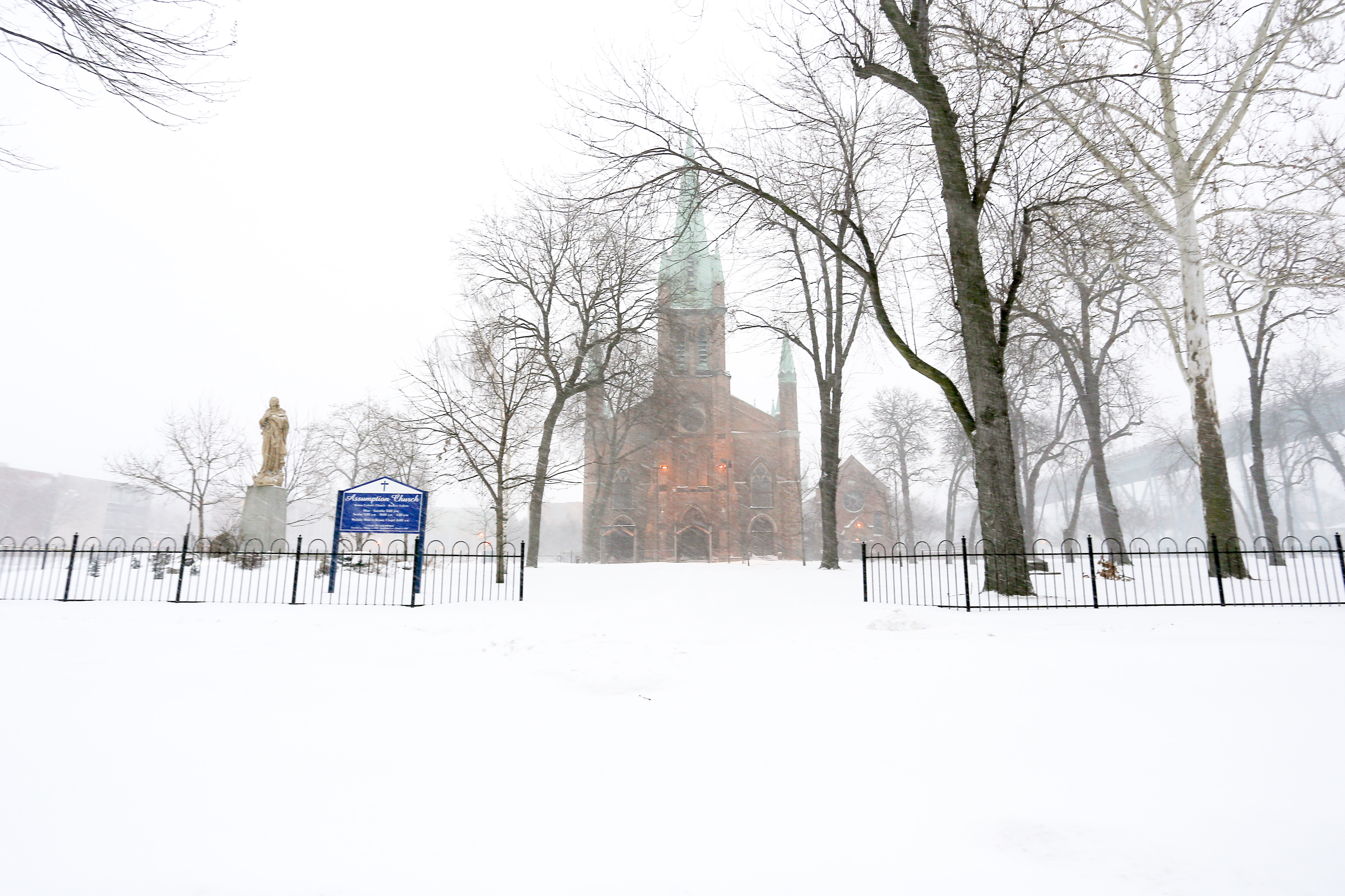


PHOTOS: Snow Storm Dumps On Windsor
Sunday February 1st, 2015, 7:22pm
Hello time traveller!!
This article is 3365 days old.
The information listed below is likely outdated and has been preserved for archival purposes.
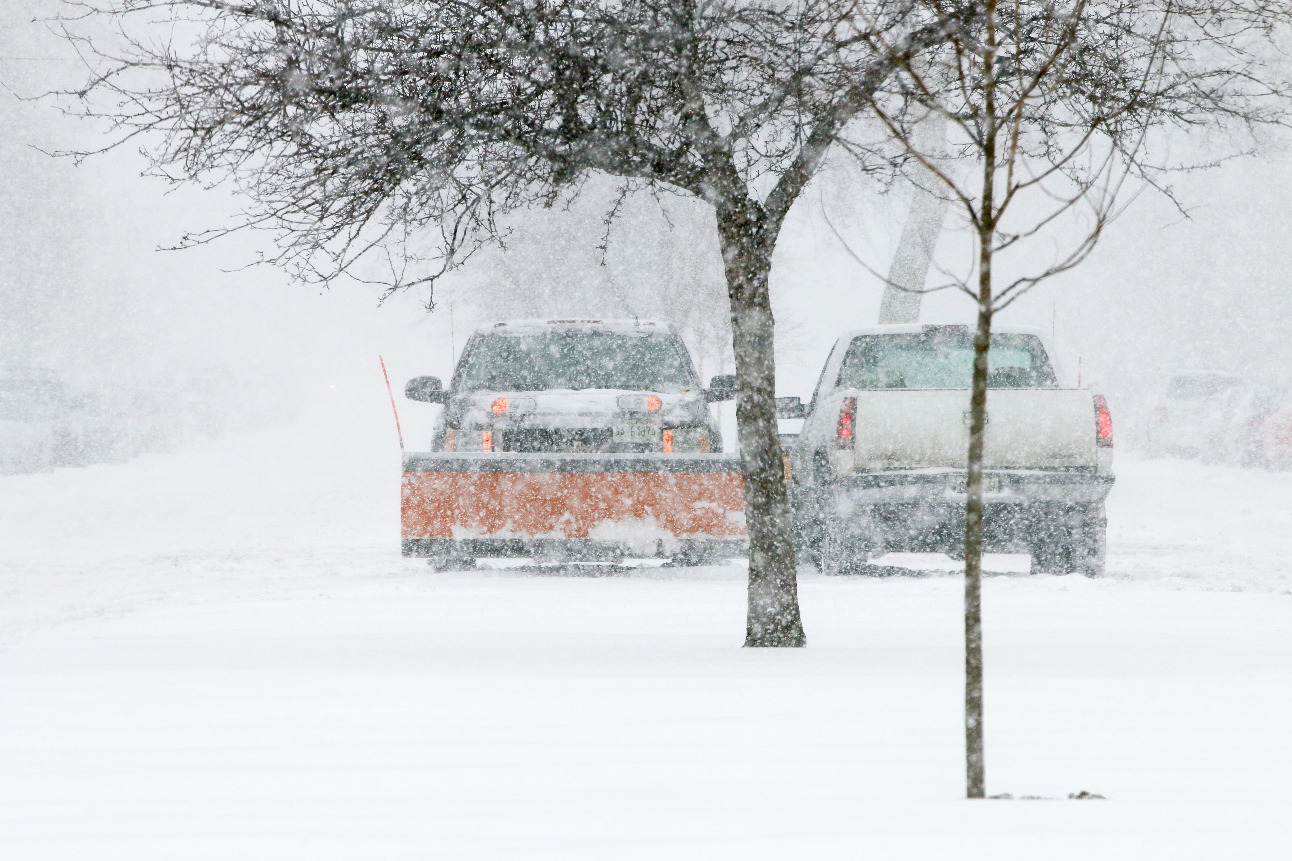
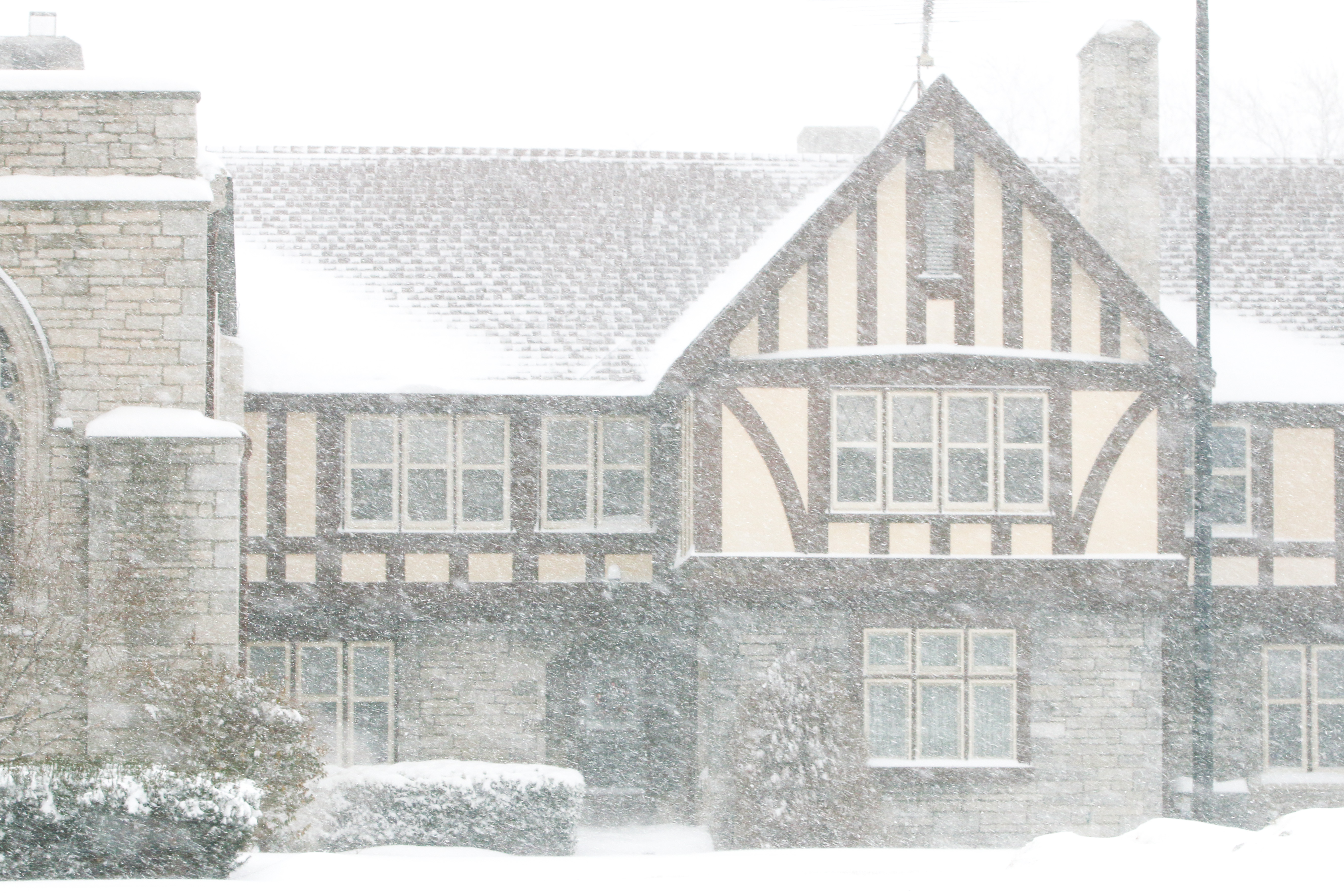
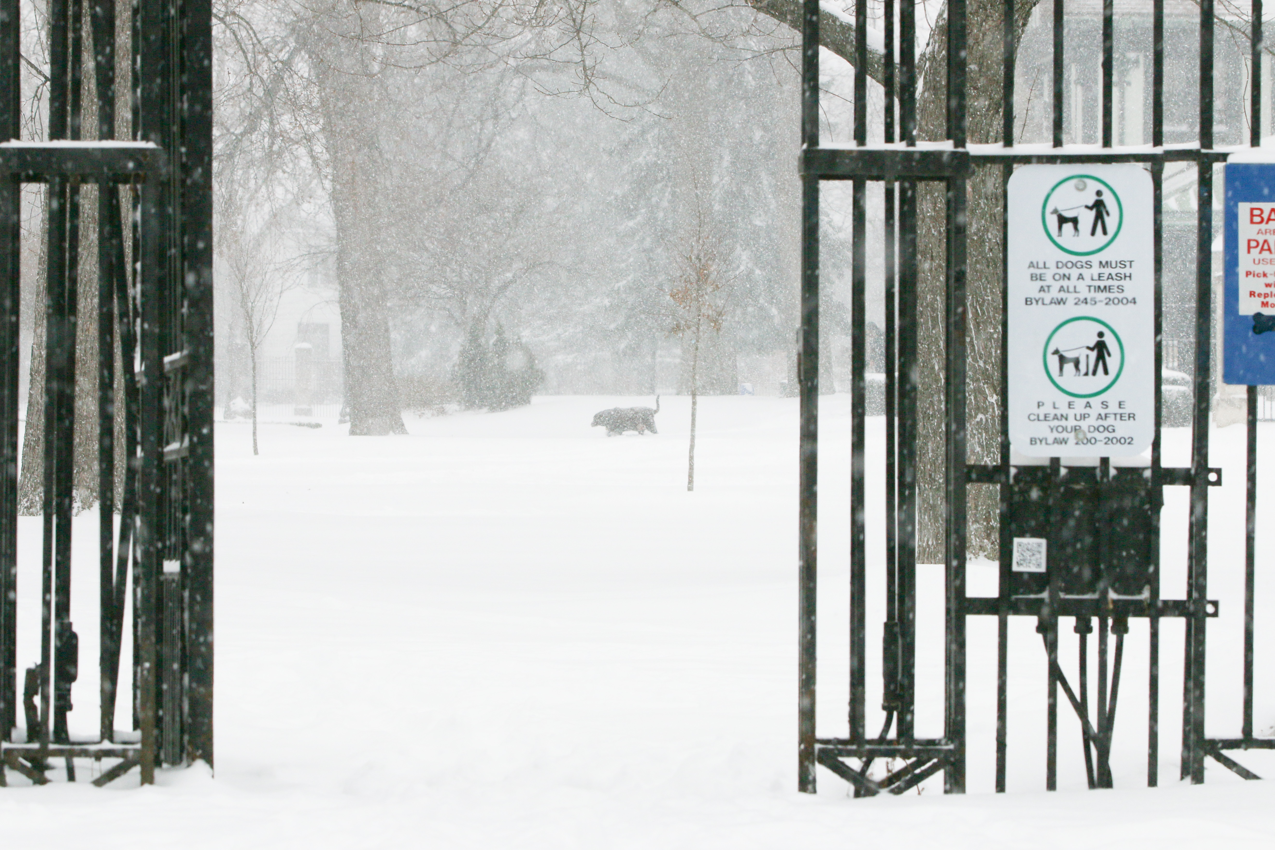
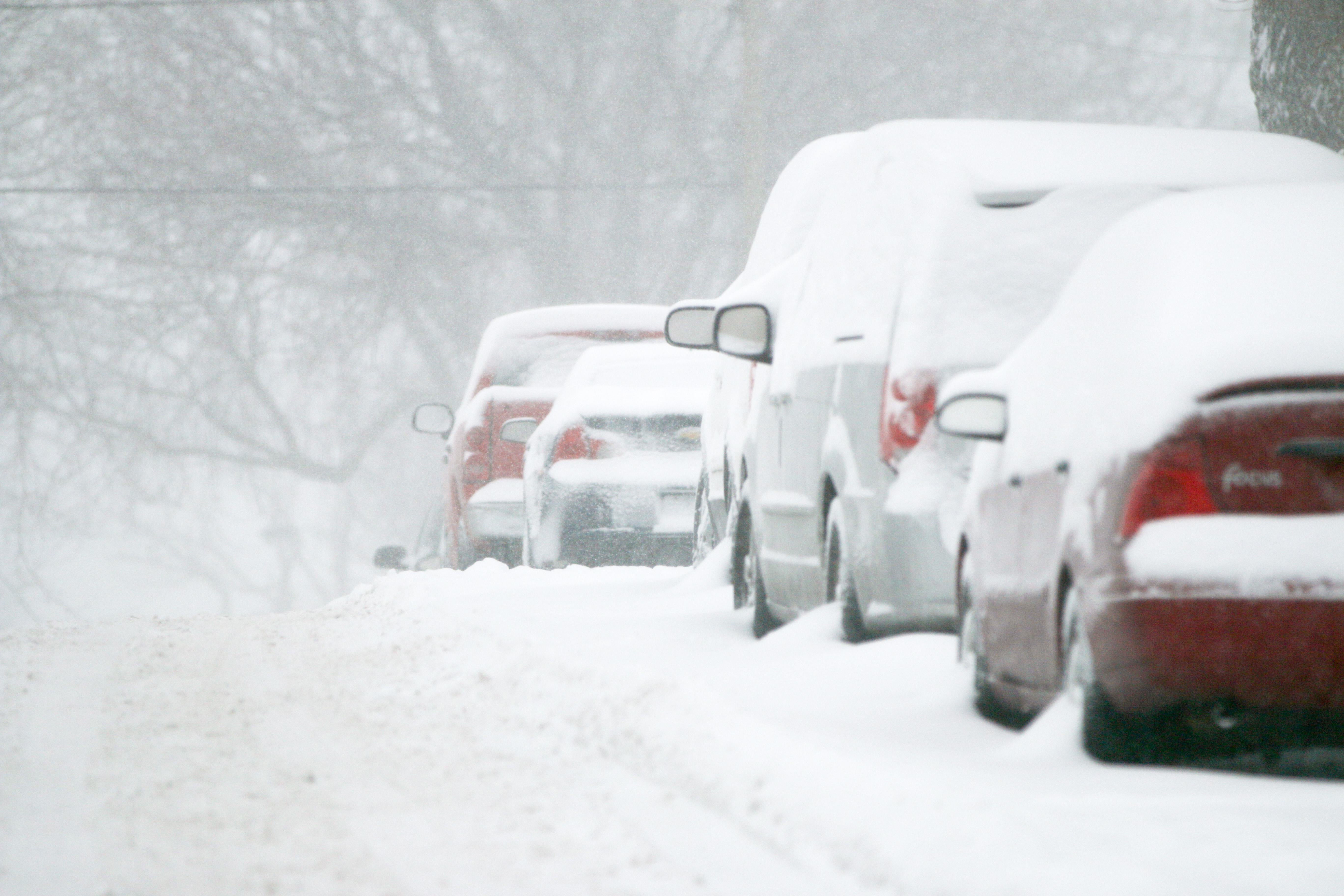
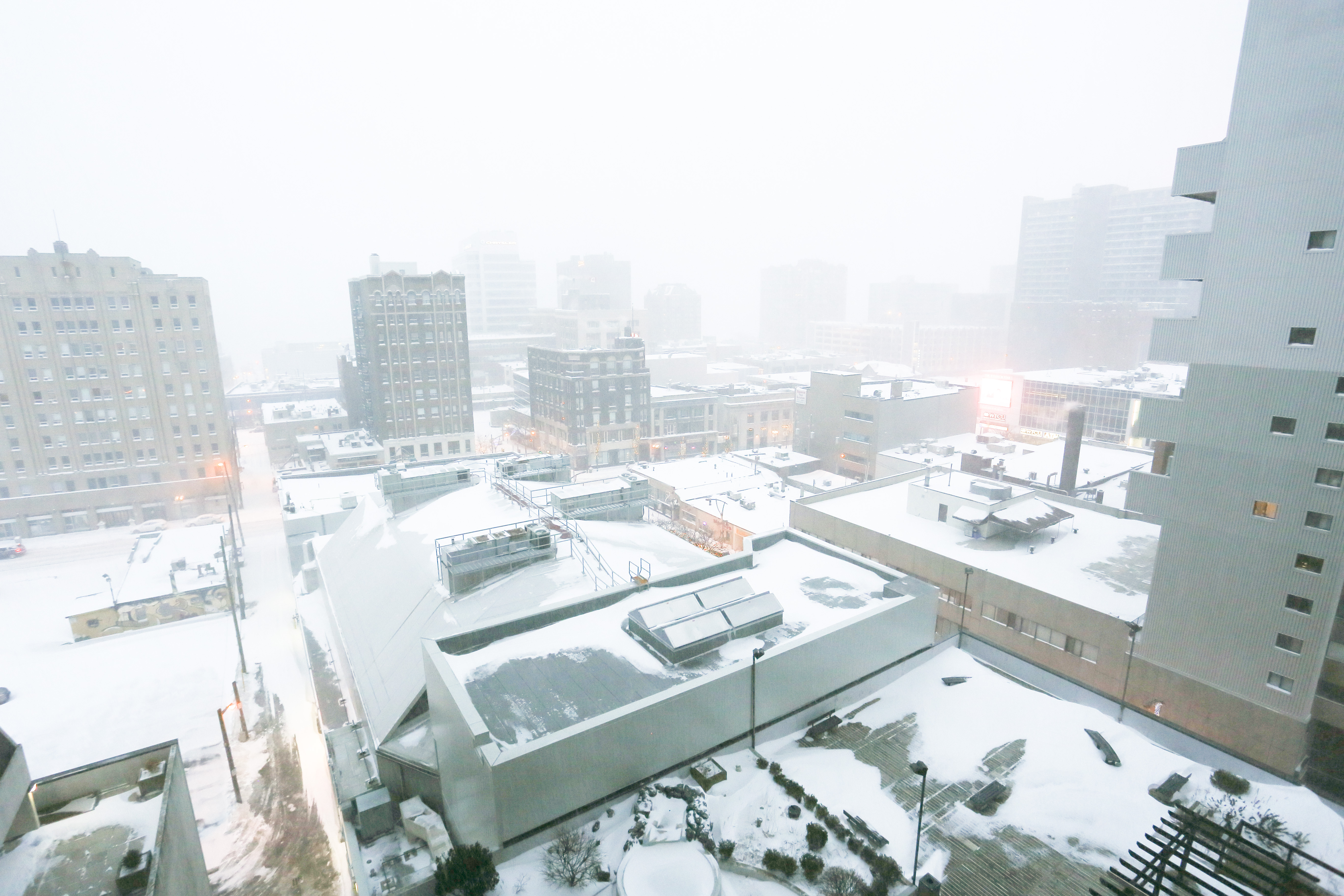
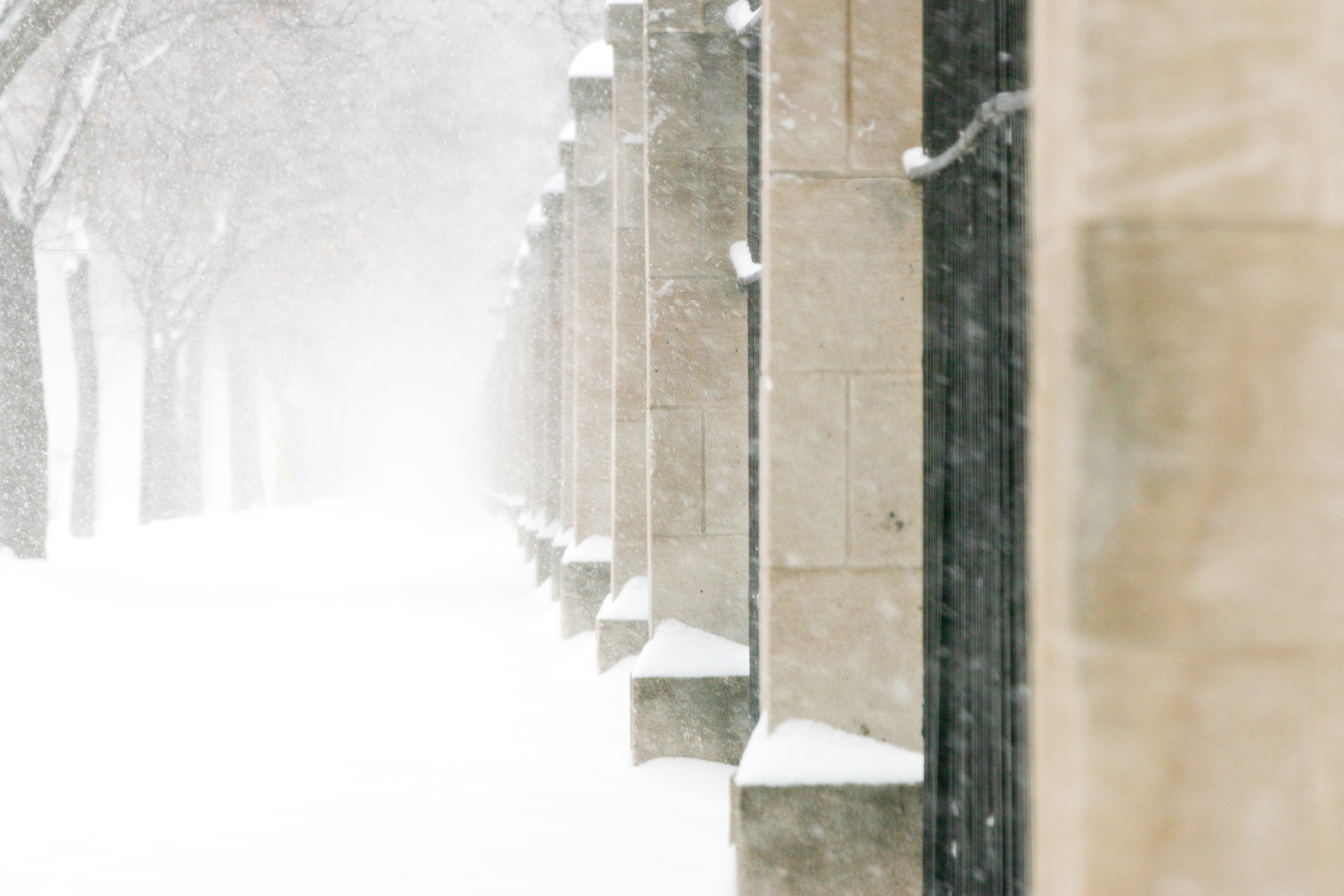
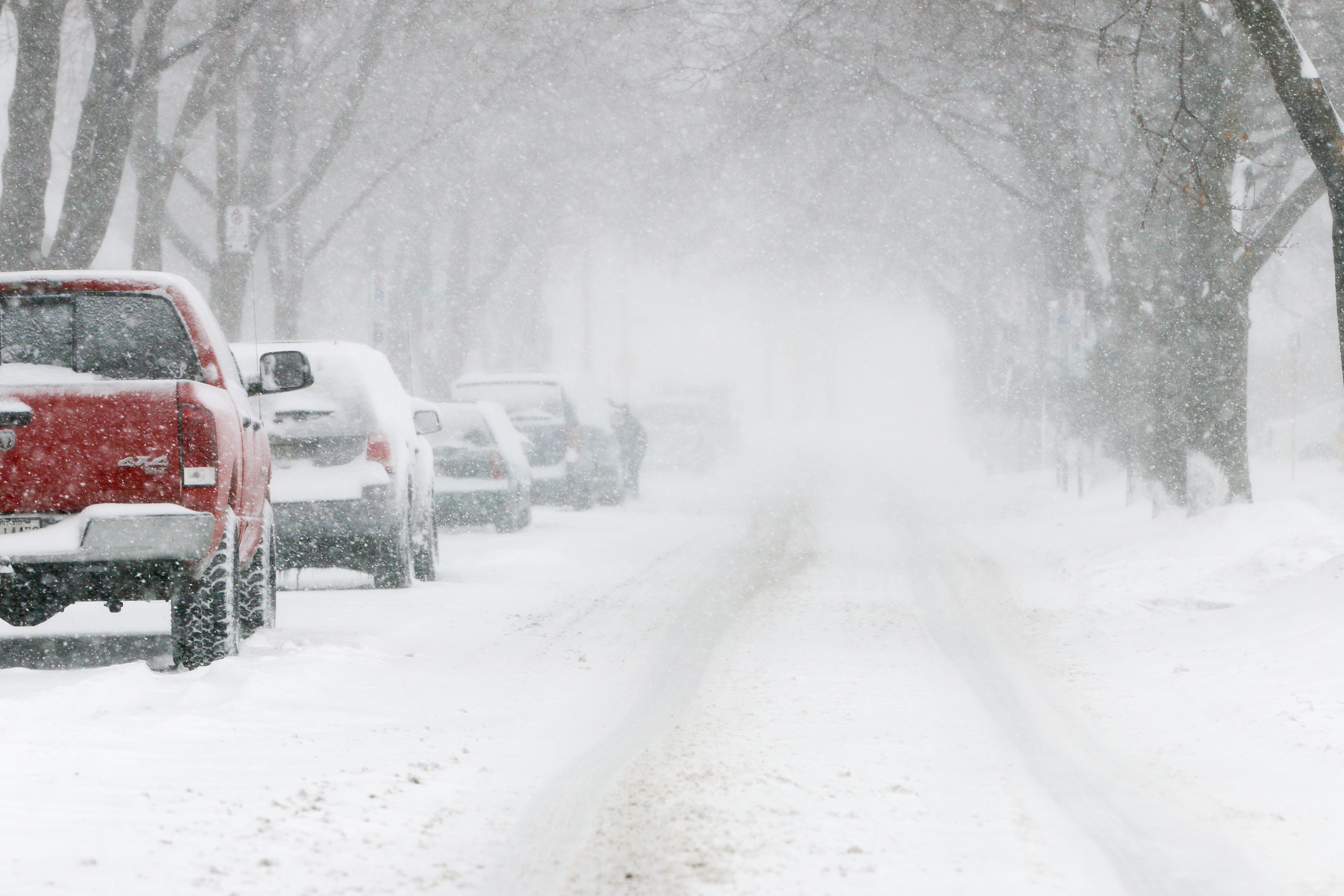
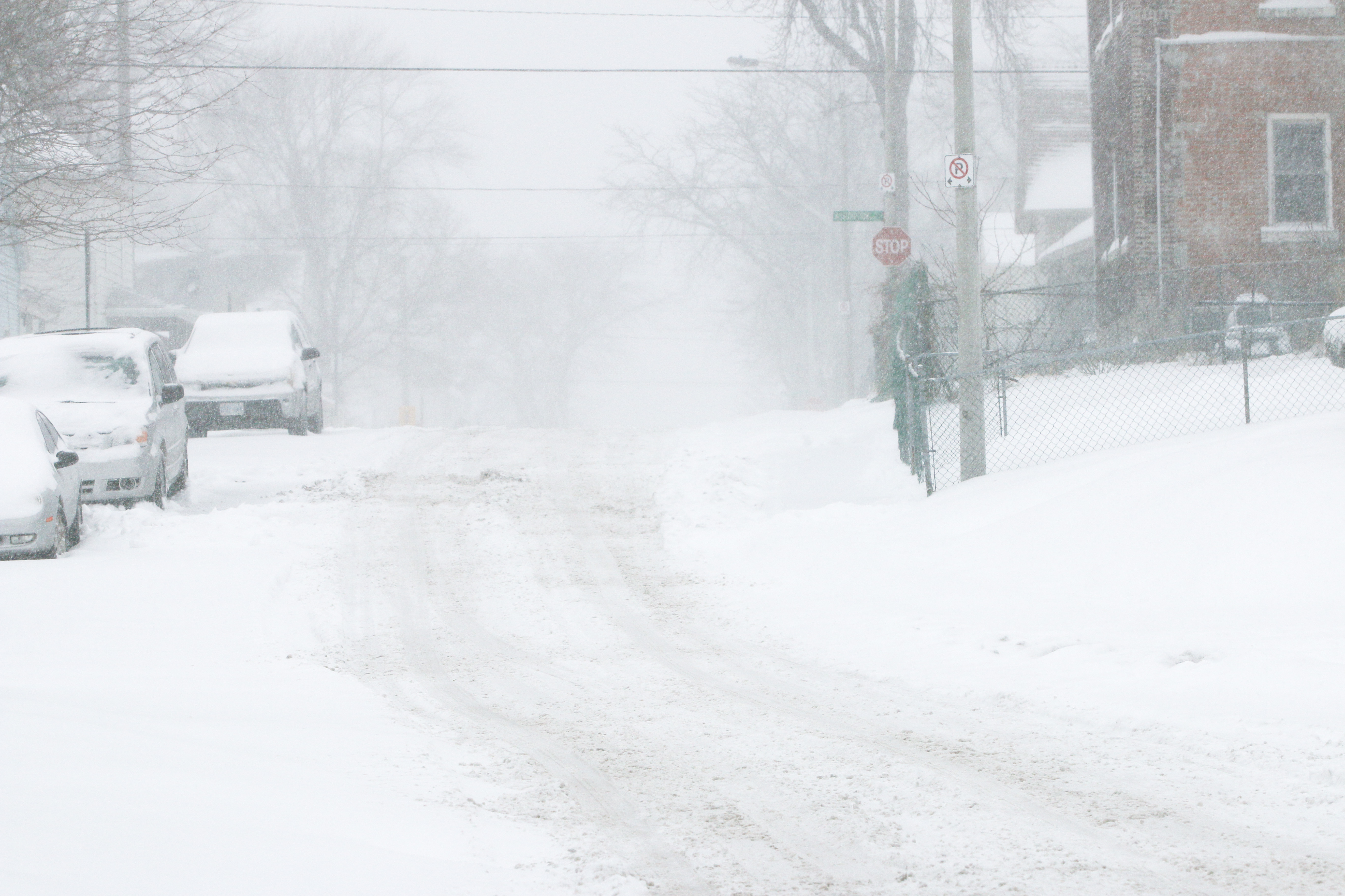
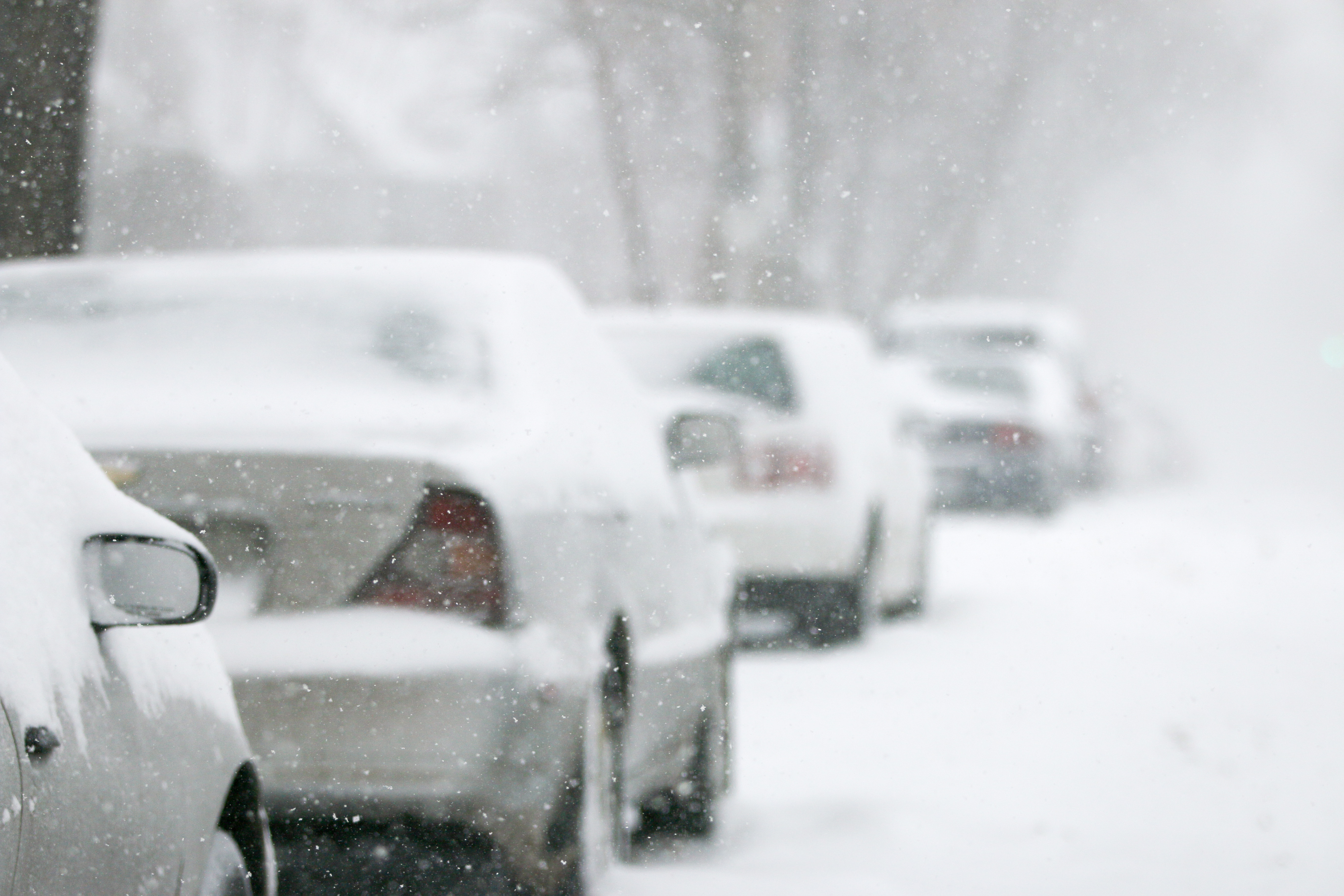
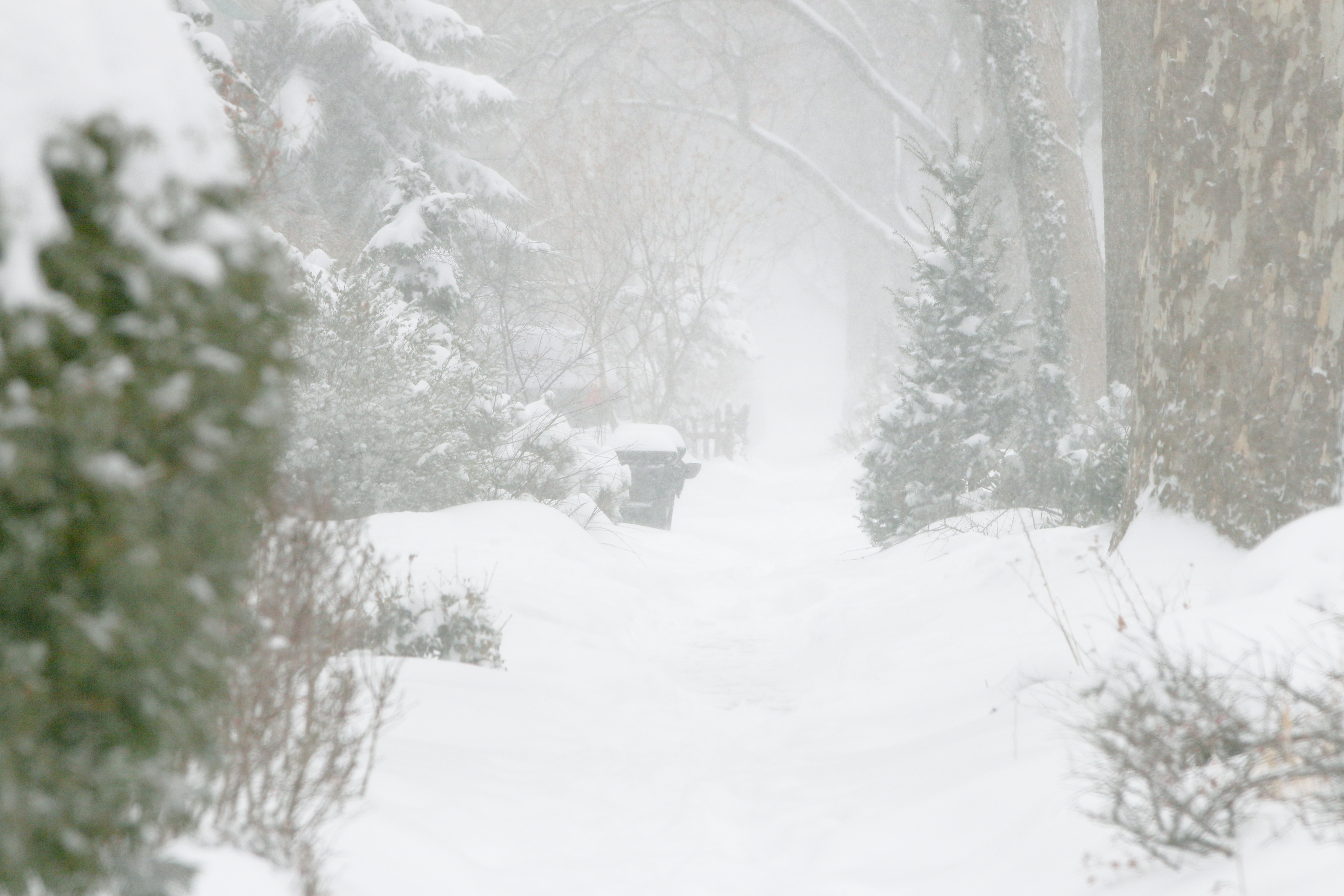
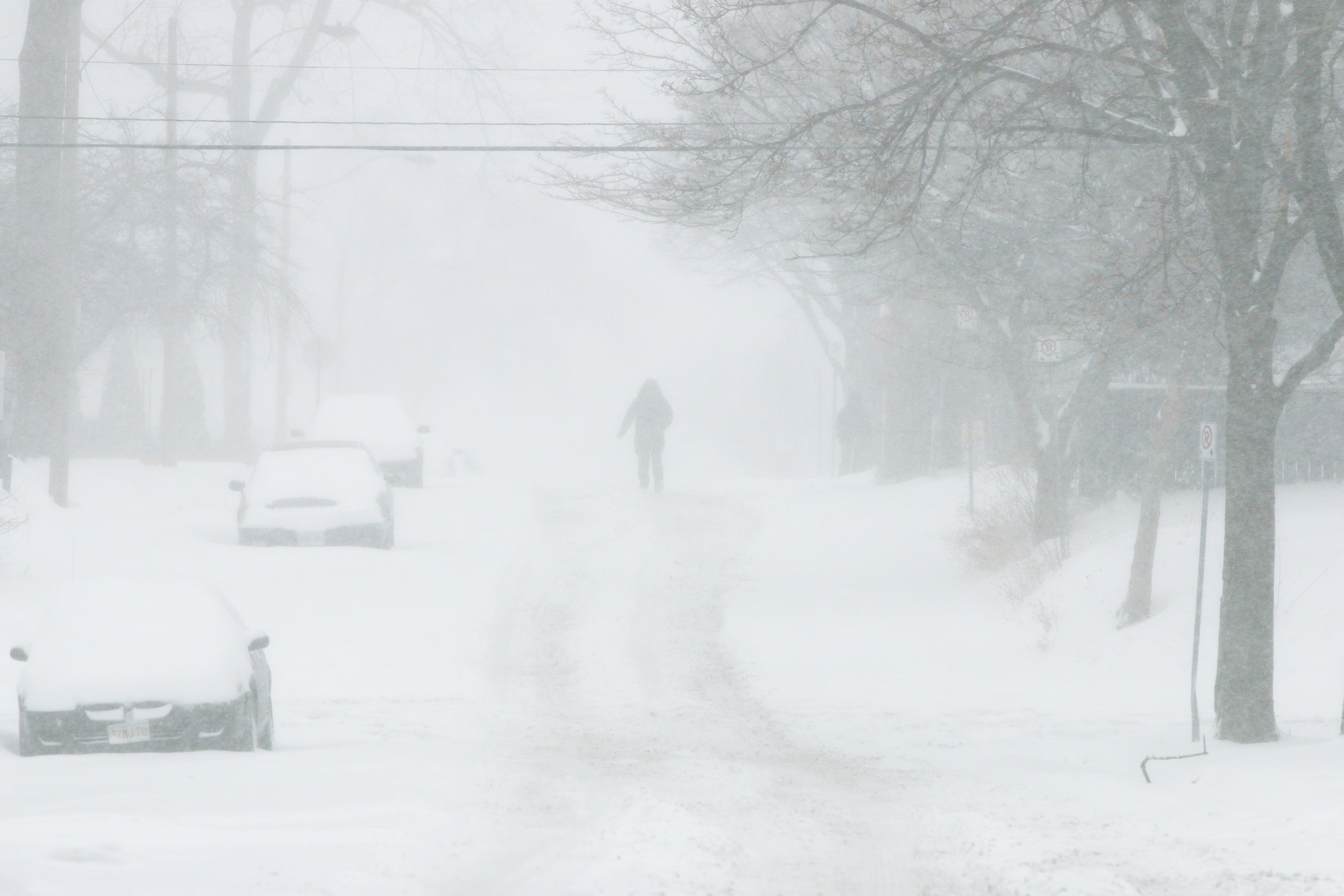
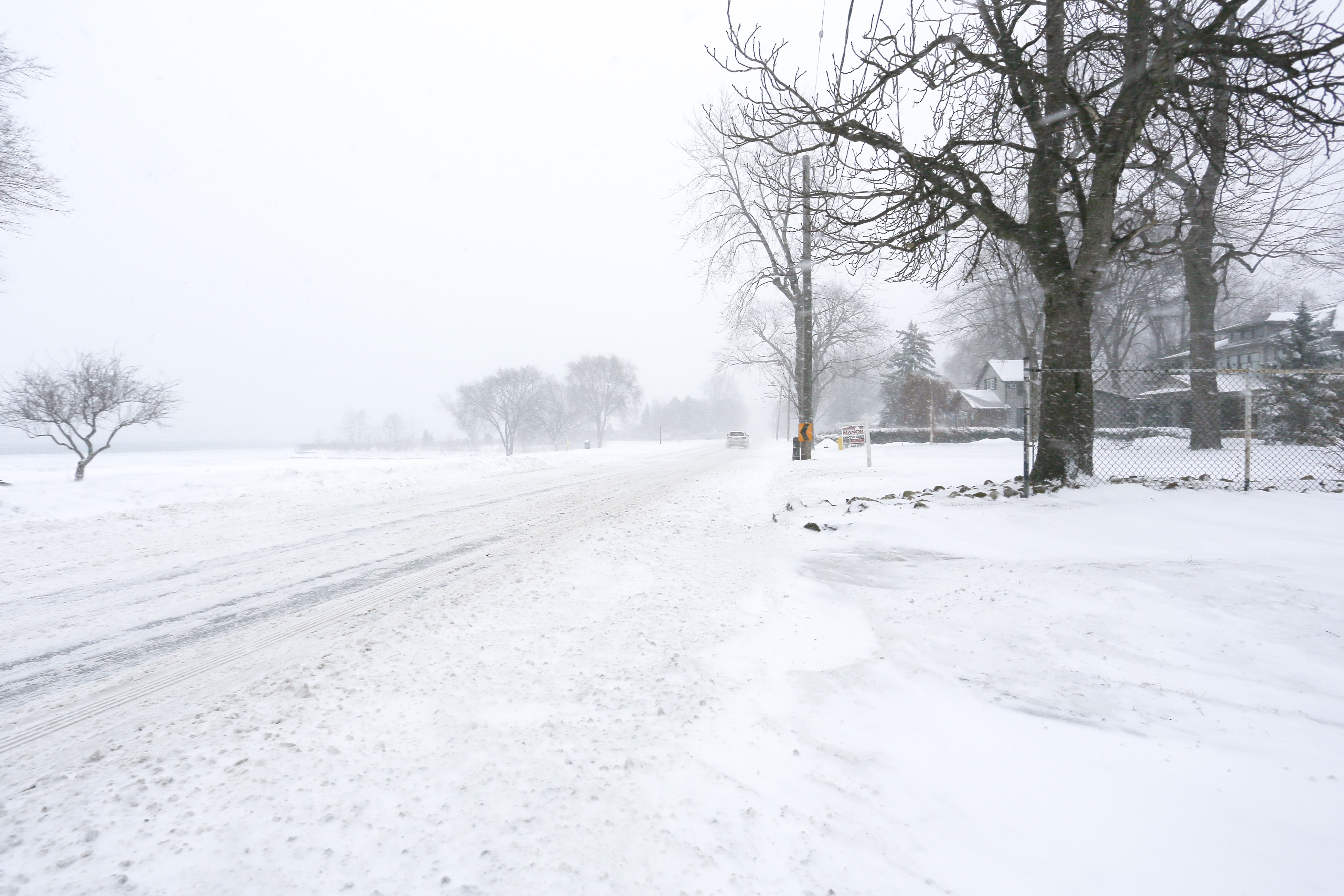
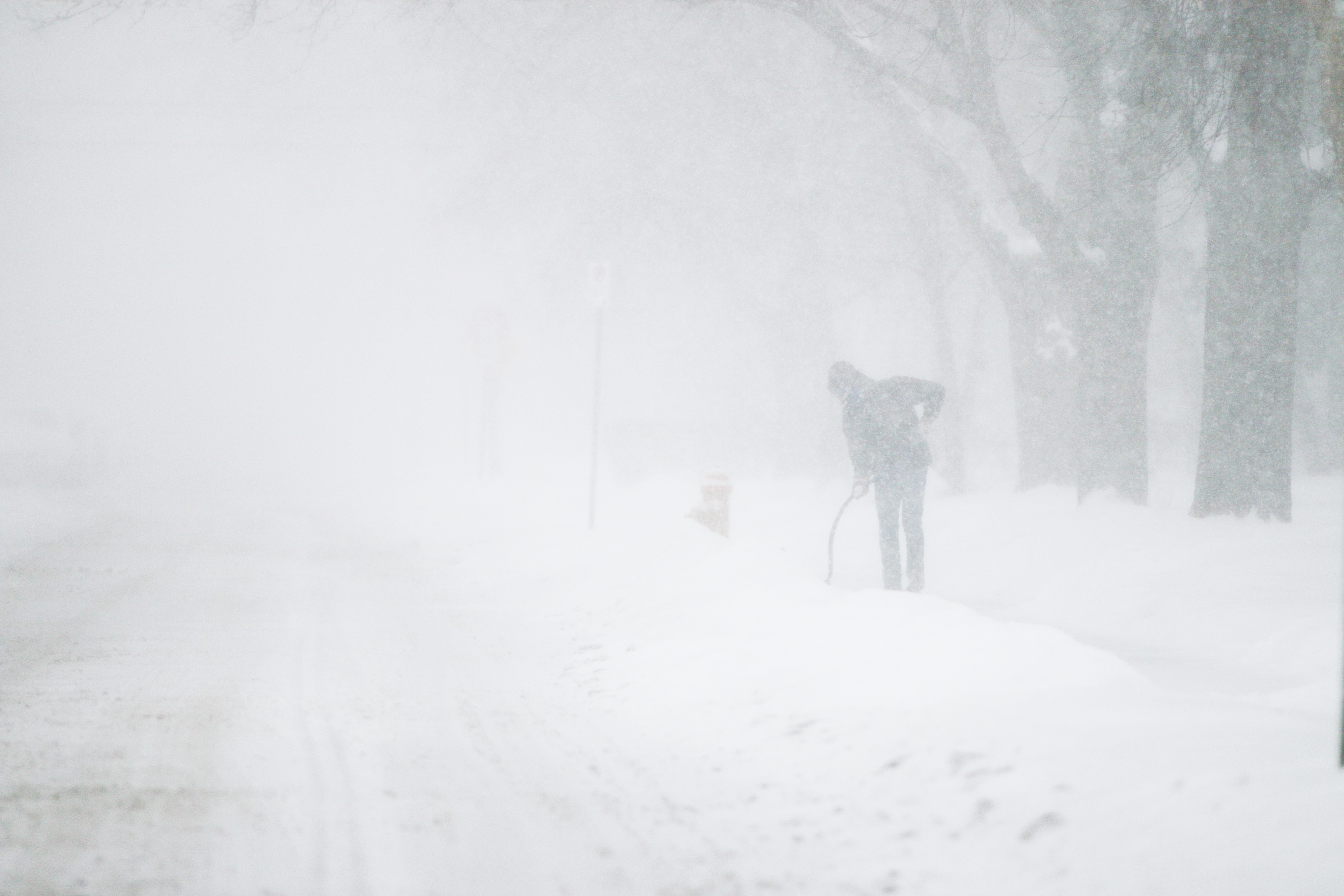
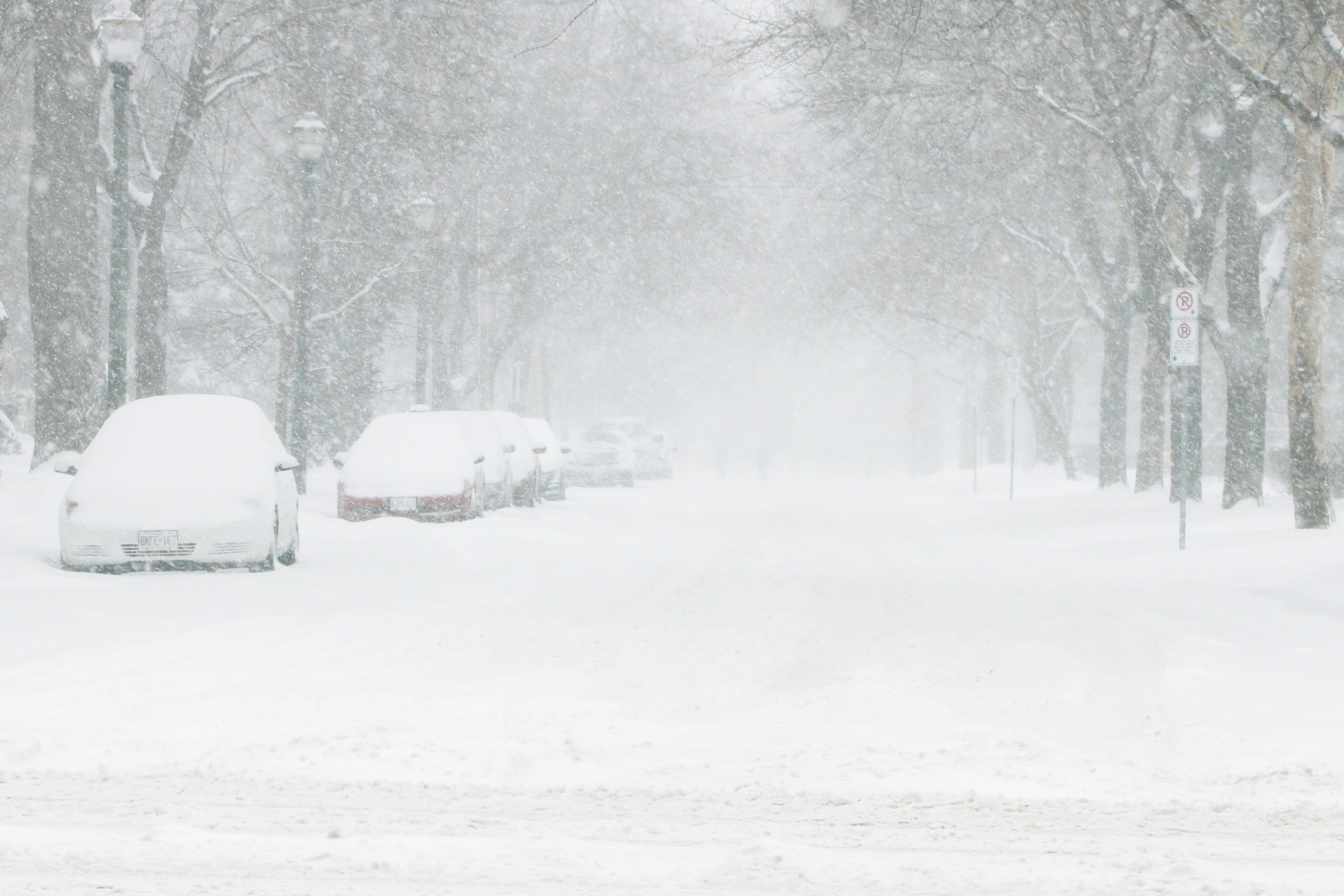
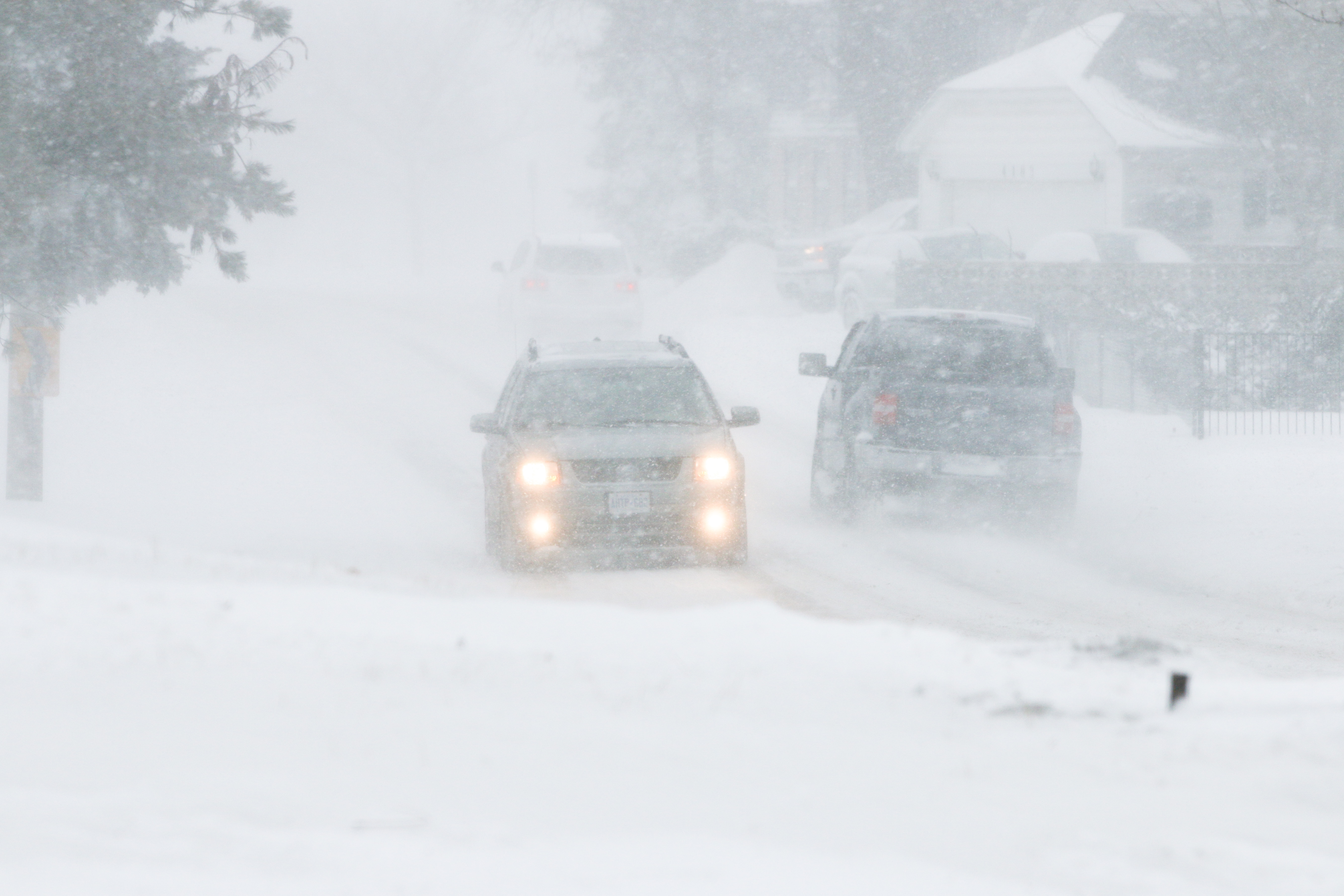
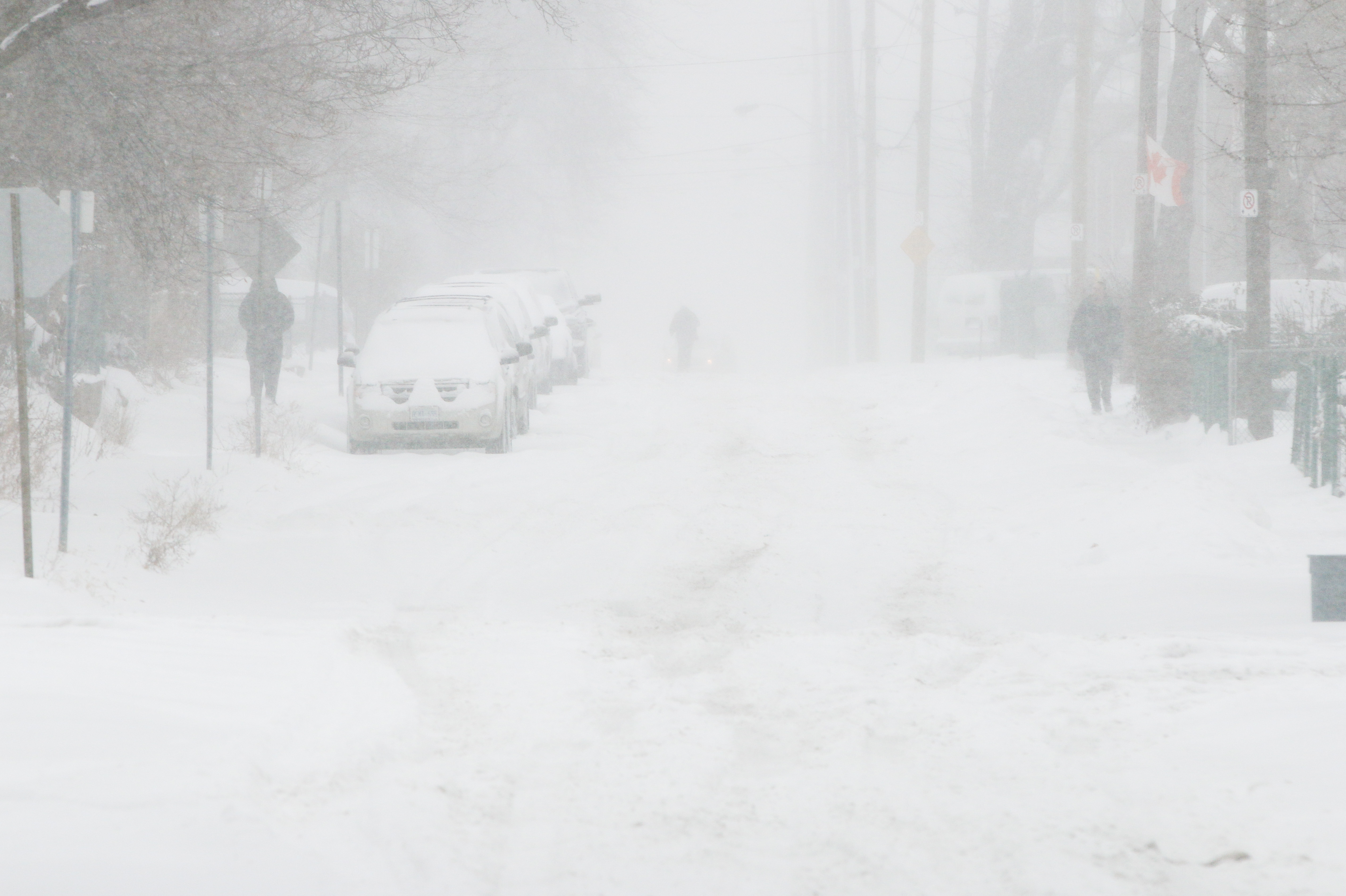
Windsor’s most significant snowfall this year has resulted in more than 20cm of accumulation in some areas, and much higher drifts of snow in areas where brisk winds are blowing.
Across the city, citizens have been plowing sidewalks and driveways while road crews with plows and salt work to clear city streets.
Snow began Sunday morning and will continue into Monday morning.
For areas south of a line from Sarnia towards Hamilton, total snowfall amounts of 20 to 30 cm are likely, with the highest amounts near the Great Lakes.
Over all regions, winds will strengthen and become gusty this afternoon and evening, reducing visibilities to 0.5 km or less in blowing snow. The combination of snow and blowing snow will make for hazardous travelling conditions. These persistent winds will generate wind chill values of near minus 25 tonight and into Monday.
The worst conditions are generally expected Sunday night.